When it comes to collecting survey data via drones, haste and oversight might just clip your wings. I've seen it first-hand: surveyors eager to deploy their buzzing fleet, only to return with lackluster results. Let’s navigate through the turbulent skies of drone data collection and chart a course towards error-free surveys.
1. Slow and Steady Captures the Data
In the race for rapid results, quality often falls by the wayside. Drones may zip through the sky, but that doesn't mean your data collection should be a sprint. The tortoise had it right – slow and steady wins the race, especially when precision is the prize. Before you let your drone soar, remember: garbage in, garbage out. Quality trumps speed, without exception.
2. A Mid-Flight Check Can Save Your Neck
Why wait to wince at overexposed blunders back at basecamp when a mid-mission check can save the day? After your drone's initial dance in the air, take a moment. Flip through those first snapshots. A quick peek could prevent a second takeoff and secure a stellar dataset.

3. Tailored Flight Plans: The Spec Map
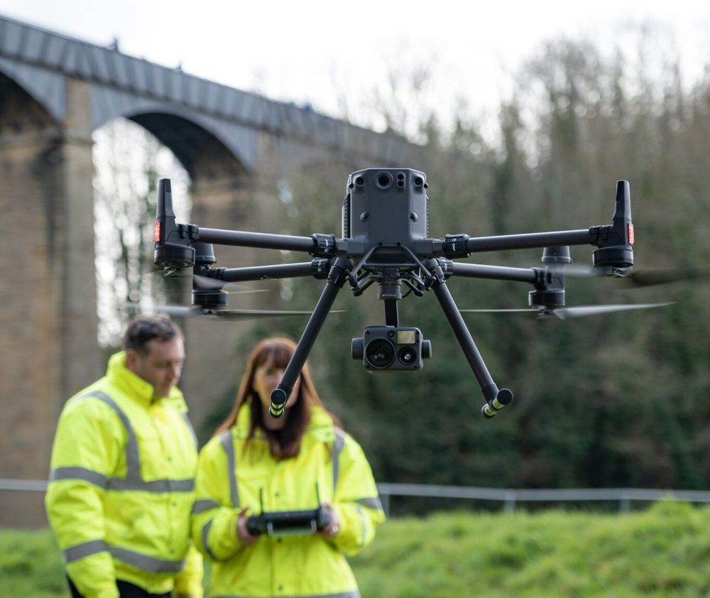
Precision is not a guessing game. For impeccable accuracy, you'll want your Ground Sample Distance (GSD) tailored to a tee. Dial it in at 1.5 centimeters, as a start. Whether you're commanding a Phantom 4 RTK at a breezy 55 meters or an M300 donning a P1 camera at lofty 100 meters, custom fit your flight to your survey's specs.
4. Know Your Drone Like the Back of Your Hand
Your drone is more than a flying camera; it's your aerial acrobat. But to perform, it must know its routine. Study its moves, quirks, and the content we at Copters create. Become one with the machine, and you'll pivot from problem-prone to problem-solver mid-mission.

5. Seize the Drone-Friendly Skies
Lastly, if there's even a whisper of a chance to deploy a drone, why on earth—or rather, above it—wouldn't you? Drones aren't just the future; they're the blazing comet of the present. To glimpse the art of the possible with drone data, let's connect. James Pick, at your service, on LinkedIn, with Copters serenading in the background.

Capturing top-notch survey data with drones doesn’t have to be a turbulent affair. With these five savvy strategies in your flight plan, you're cleared for takeoff on a trajectory towards success. Now, go forth and survey the skies, but do it wisely.
Remember, when it comes to drone data collection, it’s not about how fast you fly, but how well you navigate the nuances of technology and technique.


